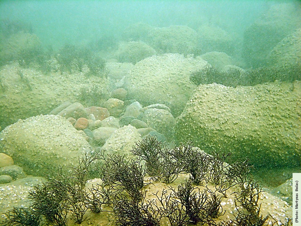
The course offers a detailed overview of the principles of marine landscape ecology and provides hands-on experience in mapping, classifying and assessing benthic habitats. It starts with a presentation of the hierarchy of geosystems and related terms and concepts; structural elements of seascapes, habitats and biotopes, as well as the main driving forces (water masses, properties of the seabed, etc.). Various biotope classification systems are presented, as well as mapping methods (geophysical and biological field research, GIS and statistical modeling). In addition, biotopes are viewed as functional units of coastal marine ecosystems, with particular emphasis on functional analysis of benthos, the role of key species and key habitats, seasonality of physical forcing and biological processes. The applied aspects of the course include: biogeographic and genetic characteristics of the relationship between habitats and landscapes, biological assessment and ecosystem services of benthic biotopes, anthropogenic impact and vulnerability of habitats, sensitivity assessment methodology. During laboratory work, students will gain experience in underwater video analysis, acquaintance with acoustic equipment and data processing. In teamwork workshops, they will learn how to develop a habitat mapping and biotope monitoring program, plan a marine protected area, or conduct an environmental impact assessment.
- Teacher: Darius Daunys
- Teacher: Sergej Olenin
